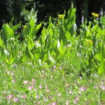
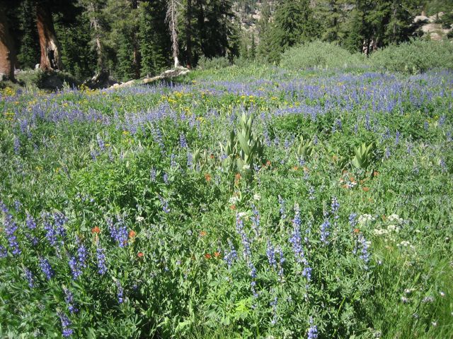
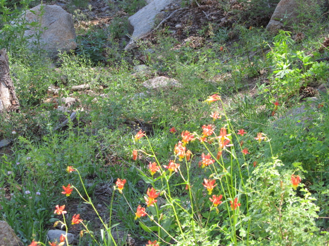
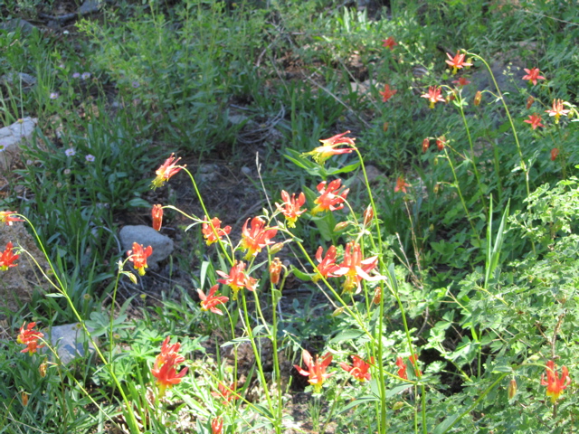
This hike takes us from the Pacific Crest Trail (PCT) trailhead at Ebbetts Pass to Noble Lake. During the mid summer weeks, this trail, like many above 8000 feet elevation, yields a spectacular display of sub-alpine wildflowers. Unlike the lower elevations where summer heat has already turned the foothills golden, at these elevations spring has just begun.

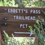
PCT Trailhead Sign on Hwy 4
We’re going to start our hike from the paved PCT trailhead parking area. The turnoff from California State Route 4 is about four tenths of a mile North East of Ebbetts Pass. The trailhead parking area has room for quite a few vehicles but if you find it overcrowded there are several alternative parking opportunities up at the pass. The trailhead parking are also has a couple of vault toilets.
The actual trailhead is at the Southern end of the parking lot. At the trailhead you will find an information board about the Carson Iceberg Wilderness Area and a wilderness permit station. If you plan to spend the night on the trail, you’ll need to fill out one of the wilderness permits available there.

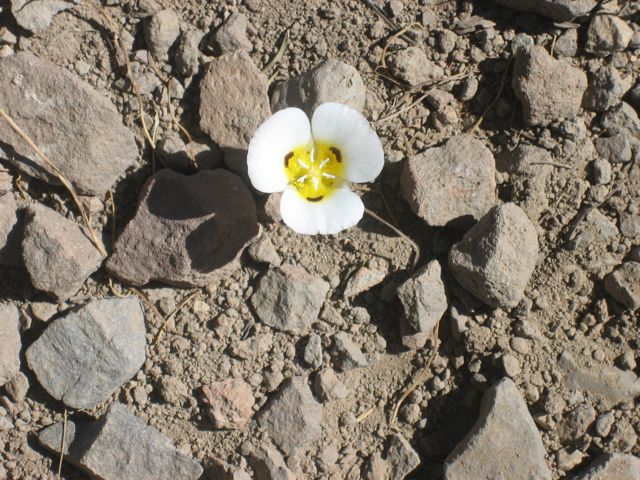
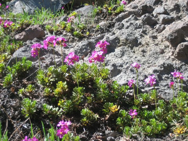
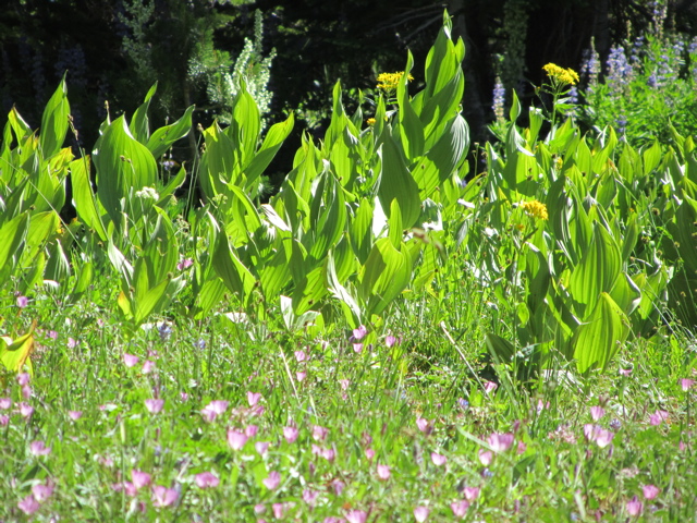
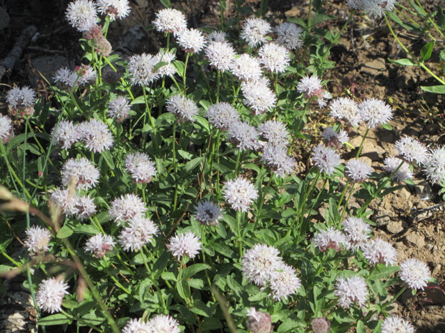
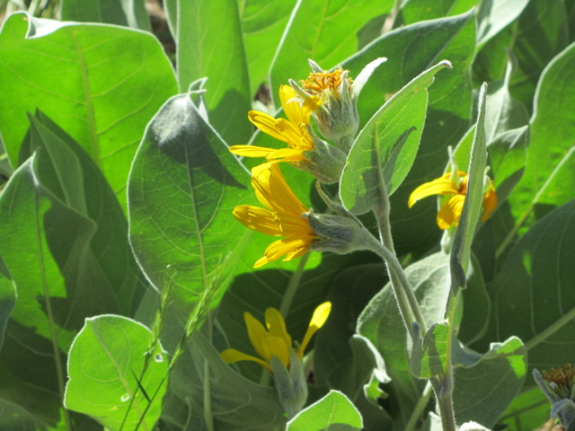
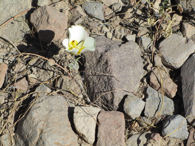
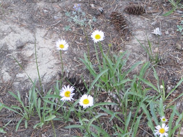
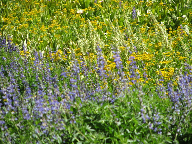
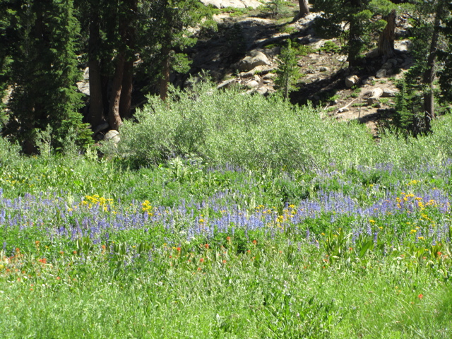
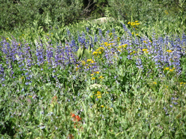
Wildflowers Everywhere
The first part of our journey is on a mostly South bound spur trail that we take for about two tenths of a mile where it meets up with the PCT. We’re going up hill but at a gradual pace, only gaining a bit over 80 feet by the time we get to the trail junction. This first stretch of trail is mostly under tree cover but there are some areas where the wildflowers were beautiful.
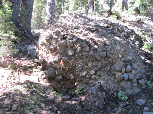
You also get your first glimpse of the ancient volcanic nature of this area as you approach the PCT.
At the trail junction we’re going to turn left, toward the East. This is actually the Southbound direction of the PCT and if we were to follow it for a few months we would find ourselves at the Mexican border, East of San Diego, California. Were we to take the North bound PCT, in about the same amount of time we would find ourselves at the Canadian border. From end to end, the PCT is 2.650 miles long! Today however we’re only going to be hiking a small fraction of that.

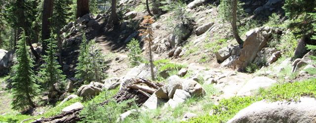
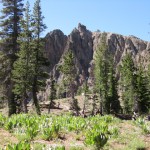
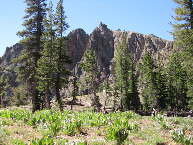
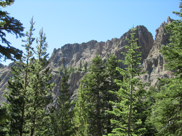
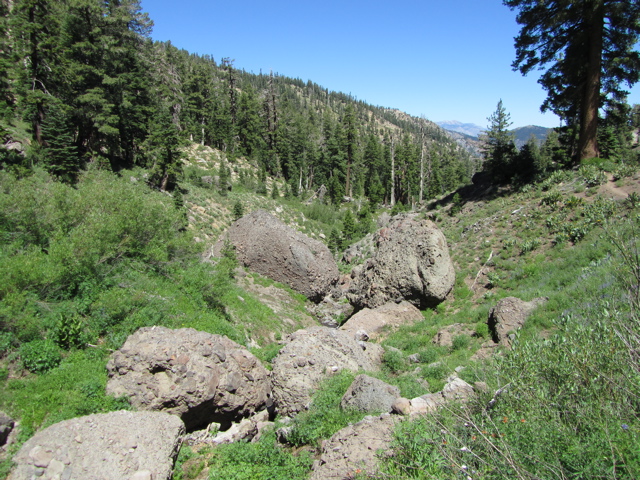
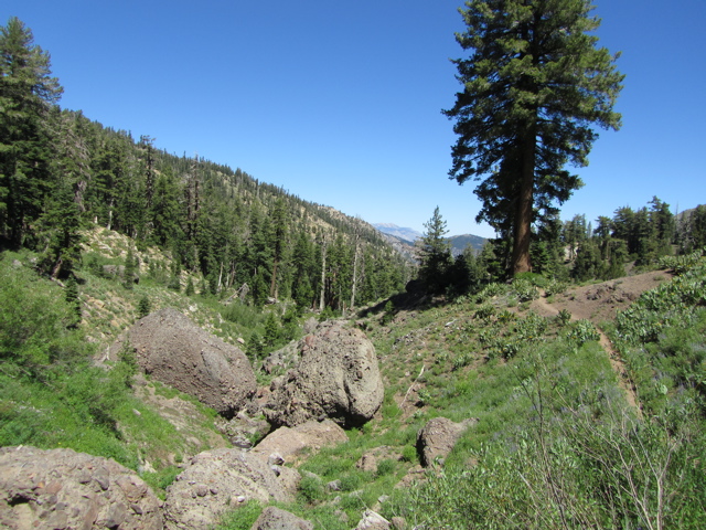
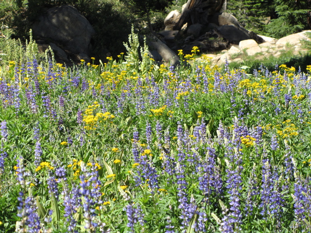
Volcanic Peaks
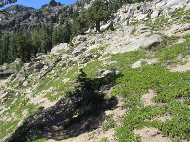
After having taken the PCT toward the East (South bound), we continue our gradual climb for less than a quarter mile at which point we turn toward the South, and then Southwest while heading down hill for about a third of a mile.
On this stretch of trail, off to our right we see what will become a very familiar sight. Most of the rest of the trail will be in ancient, and highly eroded volcanic landscapes. You can see the boulders and gravel that at one time were picked up and frozen in the lava that flowed here. I’ve heard it said that there are some sections of the PCT between the Sonora Pass and Ebbetts pass where a compass is virtually useless because Magnetite deposits overwhelm the earth’s magnetic field and cause compasses to point in the wrong direction.

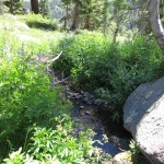
First Stream
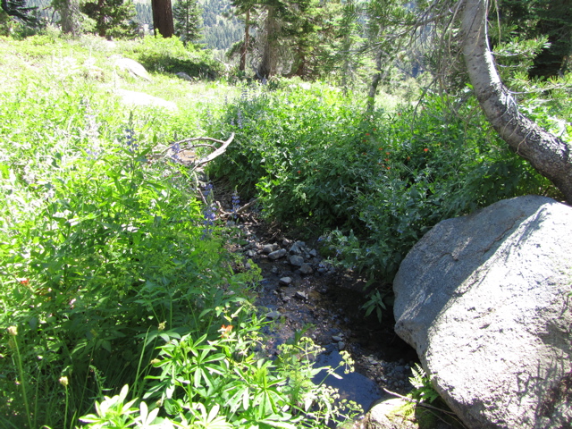
At the bottom of the gentle slope we’ve been going down, at about seven tenths of a mile from the trail head, we came to the first of several small stream crossings. Most of these streams appeared to be from melting of nearby snow fields that were quickly shrinking. I’m sure that a few weeks earlier and these snowfields would have crossed our path and a few weeks later, they’ll be gone. The fact that the snow is still there and still melting is why, even on July 31st, it looked everywhere as though spring had just arrived.
From the stream crossing we climb, very gently, another 114 feet over a little less than half a mile, headed East. Reaching a peak in the trail, at about 1.2 miles from the trailhead, we turn toward the North and start heading down hill.

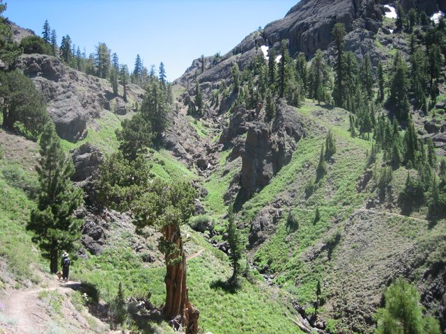
Down Western Side of Noble Canyon
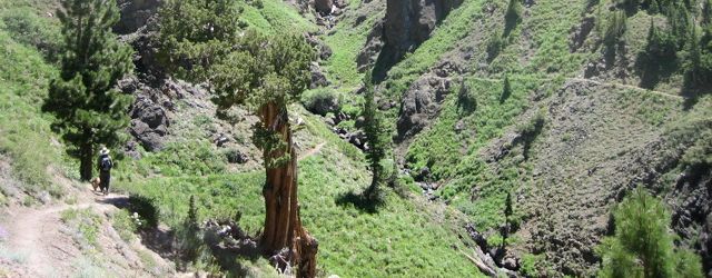
Two tenths of a mile after we start going down hill, we come to a sharp turn to the right which ends up heading us in a Southerly direction, going down the Western wall of Noble Canyon.
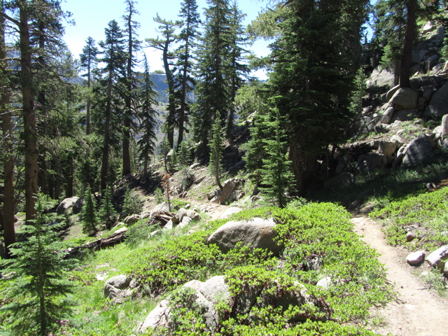
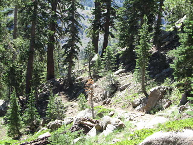
This side of the canyon has interspersed sections of open space, tree cover, and several small stream crossings. The volcanic landscape is interesting enough to take your attention away from the gravel strewn path leading to more that one slip-n-slide moment.
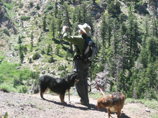
From the turn to the South that we made, we continue another 0.46 miles to a second stream crossing. In just a about a tenth of a mile we come to our third crossing, and in another two tenths of a mile we come to our fourth. When we hiked the trail this time, each of these crossings was either an easy step across, or there were easily navigable stepping stones. I would imagine that depending on how much snow, how fast it’s melting, or if there’s rain, they might be a bit more challenging but for us they were easy to cross and a welcome thirst quencher for Brandi and Chewy, our dogs,
Continuing on, about another third of a mile from the last stream crossing, and now about 2.57 miles from the trailhead, we come to a fifth perennial stream crossing and about a little over a tenths of a mile further we cross Noble Creek. Noble Creek is still shallow, but wider than this the rest of the streams we cross. If you’re going to get your feet wet by accident, this is probably where you’ll do it. Still, though we had to use stepping stones to cross, it was easy to do so and neither of use got wet.

Eastern Side of Noble Canyon
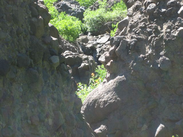
From the crossing of Noble Creek, we start making our way up the Eastern side of Noble Canyon. This side of the canyon is much more exposed, hot and dry. Still, the scenery is awesome and there were wildflowers everywhere.
About two tenths of a mile from the Noble Creek crossing, and about 2.9 miles from the trailhead, we come to a junction with the Noble Canyon Trail which takes off to the left, down the canyon. This trail follows Noble Creek all the way down to near the Silver Creek Campground on Highway 4.
We’ll stay to the right, on the PCT and continue working our way up the canyon wall.
From the junction with the Noble Canyon Trail, we head South, then East for a little over a third of a mile where we come to our seventh, and last, stream crossing on our way to Noble Lake. Here we start a series of long switchbacks which take us up, somewhat rapidly, almost 400 feet in a little over 3/4 of a mile.

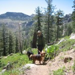
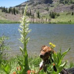
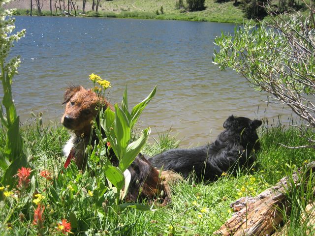
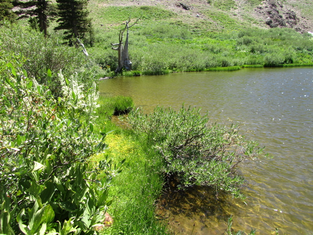
Brandi at Noble Lake
We climb to 8852 feet and then drop down a little to our destination Noble Lake. The area surrounding the lake has very little to offer in terms of cover so, for me, this would not be a first choice for a camping spot. I would not want to be here overnight in windy conditions and particularly if there was a threat of lightening. However, it’s a great day hike and a nice place to come for a getaway picnic or as a rest stop for a destination further down the trail.
So we’ve come about 4.1 miles. We started at 8595 feet and climbed to 8816 feet in about 0.4 miles. Then we dropped to 8662 feet in about 0.3 miles and climbed back to 8796 feet in about 0.48 miles. The next 1.52 miles took us down to 8291 feet followed by a 1.3 mile stretch that took us back to 8853 feet and just a short distance from the lake. Now it’s time to do it backwards…
This was another great trail easily accessible from California State Route 4. I hope you get the chance to enjoy it as much as we did. Remember, depending on snow conditions from the prior winter, the best time to try it might be from late July to early August.
If you’re interested in current conditions, you can try posting an inquiry to our forum or the one on bigtreestech.com.
joe
-
- PCT Trailhead Sign on Hwy 4
-
- Wildflowers Everywhere
-
- Volcanic Peaks
-
- First Stream
-
- Down Western Side of Noble Canyon
-
- Eastern Side of Noble Canyon
-
- Brandi at Noble Lake

Great Article. I especially liked the video – It is nice seeing what the hike would be like before attempting it. I also liked seeing that the trail was extremely well defined and looked like it would be tough to loose the trail when you are walking on it.
Yes, the trail is well defined. As part of the PCT it sees a lot of use, and is well maintained. That said, I would still recommend always carrying map and compass.
Glad you liked the video!
Great site Joe. The trail discriptions and pictures are great.
We did this hike today with my 13 and 8 year olds. Gorgeous vistas, much more difficult than Woodchuck Basin. The uphill climb at the end was a killer. Totally worth it for the views. Best part was from parking lot to the waterfall. That last climb up the scree slope was hot with winds gusting at least 40mph. Hubby did the last 2/10 of a mile to the lake while the kids and I ate lunch. Great hike, but more difficult than we had anticipated. Thanks for the detailed description. We love finding out about places/hikes that will work for our family.
I think you’re right about it being more difficult than the hike from woodchuck basin to the ridge, but if you go all the way down to Wheeler Lake I think the climb back out is a bit tougher.
Both are beautiful but for camping Wheeler Lake is far better than Noble Lake IMHO.
Glad you enjoyed the hike!
Hi Joe,
I’m visiting friends near Bear Valley and read your blog about Ebbetts Pass to Noble Lake Trail. I’m going there over the Memorial Day weekend (MDW) and want to do some training hikes in preparation for my climb on Mt. Whitney (end of June). No doubt there is lots of snow, don’t even know if Ebbetts Pass will be open MDW and should I bring snowshoes? I want to get some altitude training with a 35 lbs pack – can you recommend a good place to hike and get a good workout? Just this weekend I did Upper Yosemite Falls and Vernal via Mist Trail to Nevada Falls with 35 lbs pack (just to give you an idea of where my fitness level is currently). Thanks!
Hi April,
The last time I checked, there was a huge amount of snow even as low as Lake Alpine. I can only guess that if the pass is open on memorial day, there will still be a ton of snow on the ground at the pass. Wherever you go above Spicer Lake, you’ll probably need snowshoes, maybe an ice axe, and depending on temperatures, maybe crampons. If you have not done snowshoe backpacking before, I’d suggest doing something at lower elevation first, like a snowshoe around Lake Alpine.
Since you have an early date for Whitney, you might consider trying to use this opportunity to learn how to use an ice axe and crampons. I’d suggest contacting SNAC and see if they know anyone who could do this with you.
Make sure someone knows where you are going and when to expect you back. Also, in conditions like we have now, I would definitely recommend against going out alone.
Joe:
Fine article. I was thinking of hiking from Ebbetts Pass to Noble Lake then on to Bull Lake and Wolf Creek Trial to Wolf Creek Meadow. And, I had been thinking about doing it this coming Friday (6/18/11). Your article was instructive. I suspect the stream crossings will be formidable not to mention the snow.
Hey BillK
There is WAY too much snow on the ground… several feet and I would guess there will be well into July this year!
Hi, Joe,
Thank you so much for posting this article. Wish I would have read it before I took the Noble Lake hike today. My hiking book was not very descriptive and I got confused when I got to the Noble Canyon/PCT intersection and wasn’t sure which way I was supposed to go since the book didn’t mention it. Finally decided to continue on the PCT but wasn’t sure if I was heading toward the lake so a half mile past the intersection I turned around and went back to the trailhead. By reading your article I realize I was going the right way and next time I’ll be able to find the lake. The wildflowers were spectacular, though, so even without making it to Noble Lake it was an awesome hike. Thank you for posting such a specific description of the hike.